519-917-5030
Contact us Today!

519-917-5030
12647 Longwoods Road.
|
|
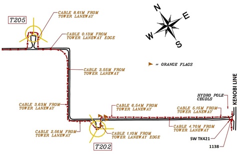
MAPPING AND DESIGN
|
|

|
|
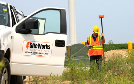
SITEWORKS LOCATING INC.We strive to make the renewable energy industry safer one locate at a time. Whether it be a major commercial project, or a small private locate for a homeowner, we will always maintain efficiency, accuracy, and above all: safety.
|
GET IN TOUCHPHONE: 519-917-5030
FAX: 519-692-3422
E-MAIL: siteworkslocating@gmail.com
LOCATION: 12647 Longwoods Rd. Thamesville ON. N0P 2K0
|
QUICK LINKS |